
- Feed Preview Digital Coast GeoZone
Sea Level Rise Viewer: Updating the Sunshine State
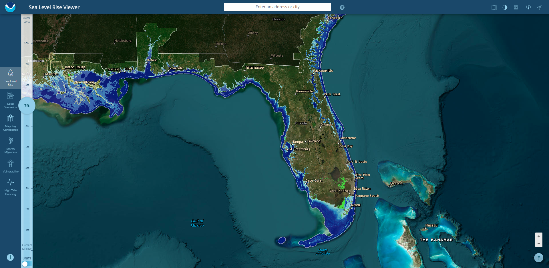
The NOAA Sea Level Rise Viewer was updated, and now includes the entirety of the Florida Everglades for the first time. New products and inundation levels were also added with this update.
https://geozoneblog.wordpress.com/2023/06/22/sea-level-rise-viewer-updating-the-sunshine-state/
Elevation Inventory: Footprint Improvements
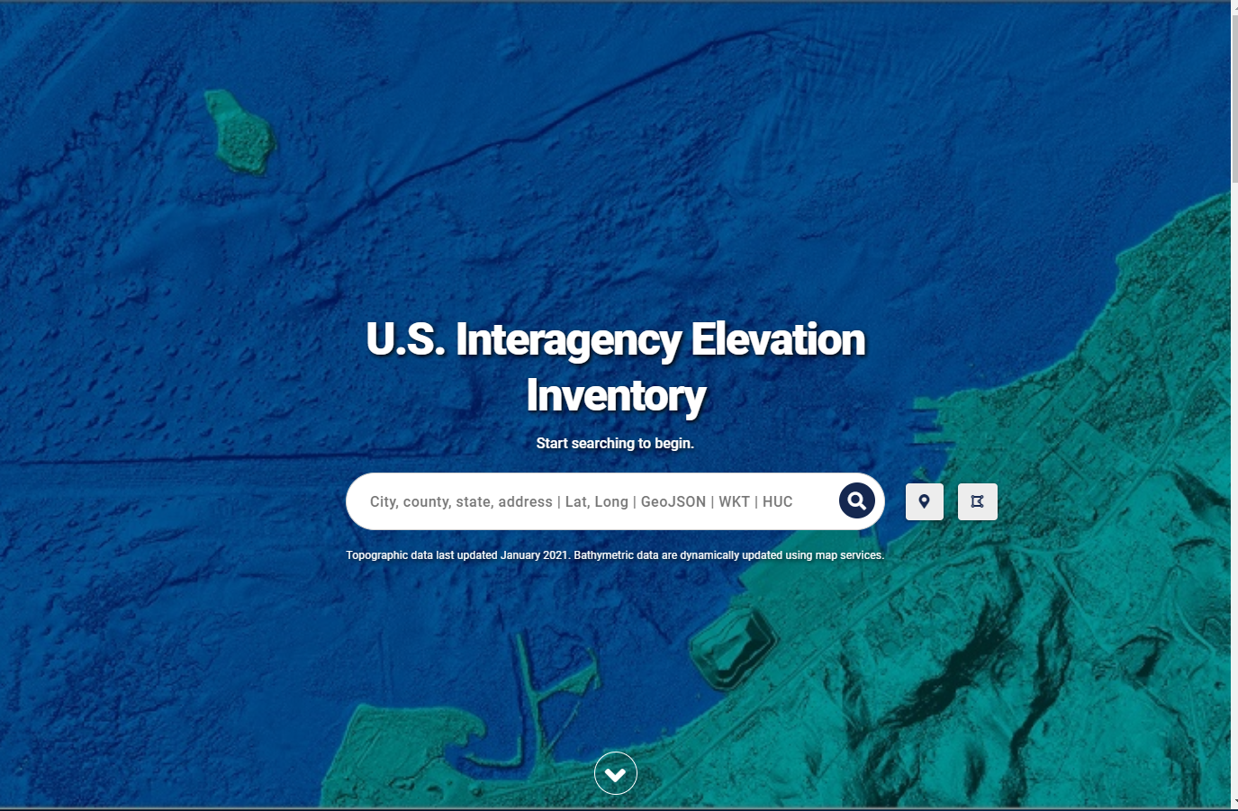
Once upon a time, we kept all the vertices we had for the footprints shown in the U.S. Interagency Elevation Inventory (USIEI). As the app became slower and slower, we realized we would need to s...
https://geozoneblog.wordpress.com/2022/12/09/elevation-inventory-footprint-improvements/
Virtual Formats – Using Raster VRTs
We’ve quietly started making our imagery and digital elevation models (DEMs) available via the VRT format. The next step is to let you know about them and how they can help you work with large ...
https://geozoneblog.wordpress.com/2022/05/06/virtual-formats-using-raster-vrts/
DAV: New Products
The Digital Coast Data Access Viewer (DAV) has some new lidar product outputs that I think you might find useful. They are still experimental. That means there might be some glitches, but it also...
https://geozoneblog.wordpress.com/2021/12/09/dav-new-products/
Good ol’ Rockyweb
Elevation data users know that one of the best places to access elevation data (in addition to the Digital Coast) is the U.S. Geological Survey (USGS). Not only are the lidar point and digital el...
https://geozoneblog.wordpress.com/2021/11/17/good-ol-rockyweb/
Data Access Viewer: Changes
We’ve made some changes to the back-end processing in the Data Access Viewer (DAV) and they will affect the outputs a bit. I’ll do a review of what’s different here and how the new processi...
https://geozoneblog.wordpress.com/2021/10/22/data-access-viewer-changes/
QGIS – First Impressions
Have you ever found yourself in a situation where your boss asks you to do a GIS task and wants the results immediately? And when I say immediately, I really mean they wants the answer yesterday....
https://geozoneblog.wordpress.com/2021/09/30/qgis-first-impressions/
New Ways to Access Lidar
There are some new ways to access lidar data that should be a boon to many of you. Today I’m going to talk about how we’re supporting that access, how you can find the data, and some caveats....
https://geozoneblog.wordpress.com/2021/09/29/new-ways-to-access-lidar/
Lidar in XYZ
Today we had a request from someone looking for lidar data in XYZ format and needing some assistance. They noted that they wanted the data in a usable format, which I take some exception to, but ...
US Interagency Elevation Inventory: Map Services
The US Interagency Elevation Inventory (USIEI) application, updated in February 2021, also has new map services. Today I want to talk a little about the changes to those services. Much of this wi...
https://geozoneblog.wordpress.com/2021/02/22/us-interagency-elevation-inventory-map-services/